― Introduction ―
|
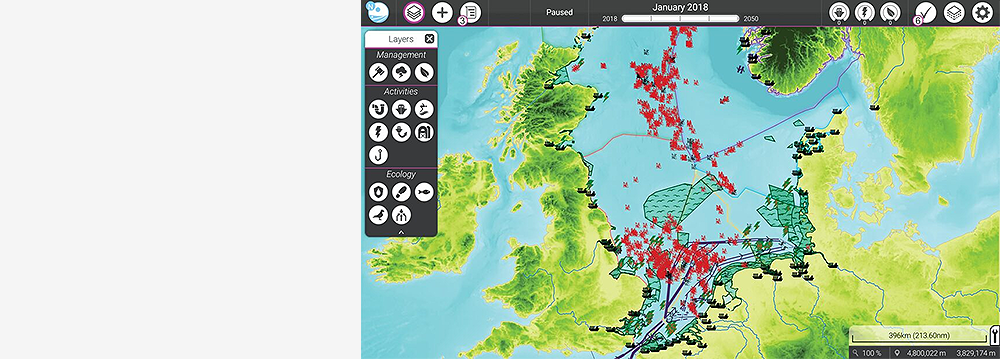
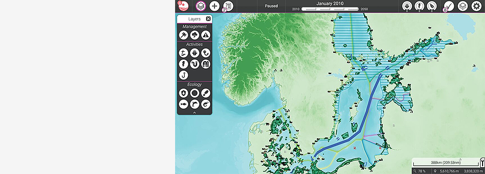
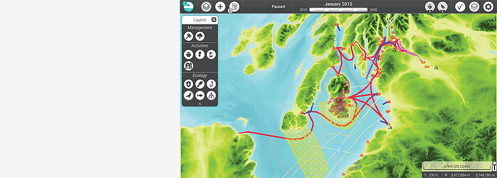
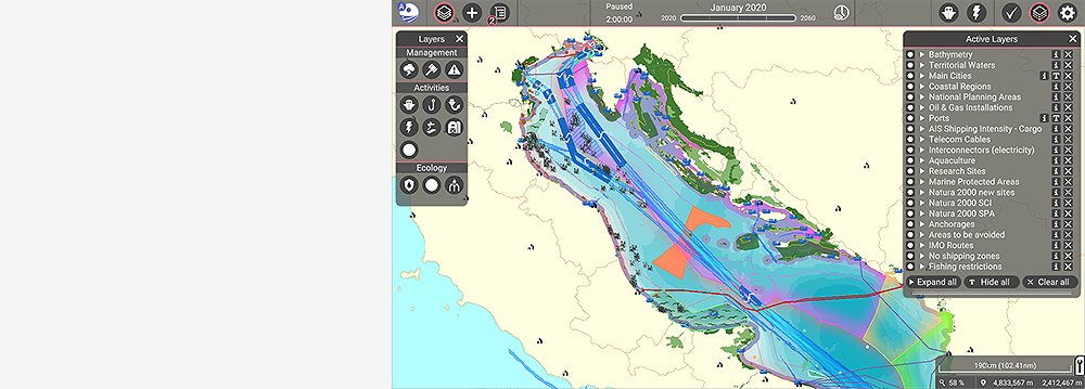
In the simulation platform, multiple users have an overview of an entire sea region, such as the North Sea, the Baltic Sea or the Clyde Marine region. Users can review many different data layers provided by many authorities in Europe, to make an assessment of the current status and develop plans for future uses of sea space, over a period of several decades.
|
Future plans for energy, shipping, fishing and the marine environment are simulated. The effects are presented in indicators and heat maps, such as for biomass, energy production, shipping route and port efficiency. The platform supports transboundary cooperation and consultation between different countries and stakeholders in a sea basin.
|
Moderators can set up interactive sessions with multiple users representing different countries or sectoral interests. They can define session duration and start/pause/speed up and slow down time to run the simulation. Developers can modify or add data layers. The platform can also (be made to) communicate with existing models and simulations.
|
|
|
|
|
|
|
― Features & Functionalities ―
|
Features:
|
Functionalities:
|
|
Use it for:
|
Unique selling points:
|